
APT Capture and Decode
I document my endeavor to capture and decode APT signals with Raspberry Pi and RTL-SDR
Complexities
Components
A Raspberry Pi (for processing the data)
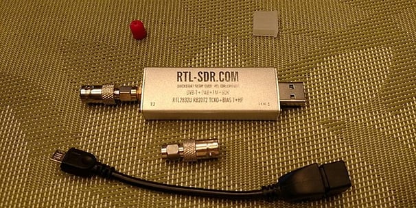
RTL-SDR dongle (for capturing the signals)
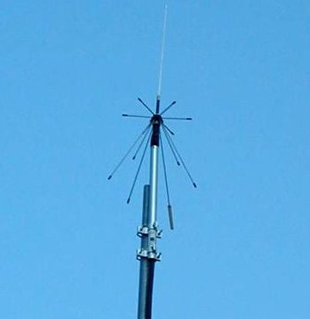
Antenna tuned to 137 MHz (e.g., QFH or V-Dipole)
Decoding software like WXtolmg
Satellite tracking software to know when satellites are overhead
Project Overview
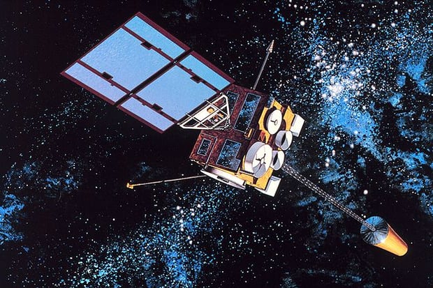
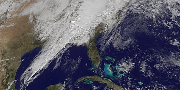
In this project, we embark on the fascinating task of capturing satellite signals directly from space. Using a combination of Raspberry Pi and RTL-SDR technology, we are able to receive Automatic Picture Transmission (APT) signals transmitted by weather satellites. These signals carry vital data that can be transformed into visual weather maps and offer an intriguing look at Earth's atmospheric conditions from a global perspective.
APT, or Automatic Picture Transmission, is an analog image transmission mode used predominantly by NOAA weather satellites. Introduced in the 1960s, APT systems broadcast images composed of two channels—Video A and Video B—alongside telemetry information and synchronization data. Each broadcast line includes image data from the advanced very-high-resolution radiometer (AVHRR) sensor, corrected for geometric consistency to eliminate distortion from Earth's curvature. The typical APT image is a 4 km/pixel image that can switch between visible and infrared bands, providing essential data for meteorological analysis.
Capturing satellite signals introduces several complexities. The signals transmitted from space are subject to various forms of interference and degradation. Factors such as atmospheric conditions, satellite position, and equipment sensitivity all play crucial roles in the quality of the received signals. The technology used must effectively decode these signals which are often weak and distorted by the time they reach the surface of the Earth.
About APT
Objective and Scope
The objective of this project is not just to capture the signals but also to decode them into usable images that can provide valuable insights into weather patterns and environmental conditions. This process involves setting up the necessary hardware, tuning the software for optimal signal reception, and continuously refining the system to improve image clarity and detail.


Future Steps
Current Status
As of April 2024, the project is in a continuous state of monitoring and data collection. I am currently experimenting with different antenna designs to enhance signal clarity and reduce noise. The latest series of images received last week demonstrates significant improvement in image resolution.
One of the primary challenges faced was signal interference from local FM stations. To resolve this, I implemented a band-stop filter to eliminate unwanted FM signals, dramatically improving the clarity of the satellite transmissions. Another hurdle was the Doppler effect, which was mitigated by adjusting the software to dynamically compensate for frequency shifts as the satellite moves.
Moving forward, I plan to automate the data capture process to include real-time decoding and posting to a publicly accessible website.
Technical Challenges and Solutions
Community and Collaboration
This project has piqued the interest of the amateur radio community, fostering collaborative relationships with local clubs to share knowledge and resources. I've led multiple workshops to demonstrate the setup and have gained invaluable feedback that has enhanced my troubleshooting skills. If you're keen on weather monitoring or radio communication, I encourage you to reach out and connect.


